
Genesys jumps on securing project from National Mission for Clean Ganga

Genesys International Corporation is currently trading at Rs. 221.50, up by 5.05 points or 2.33% from its previous closing of Rs. 216.45 on the BSE.
The scrip opened at Rs. 219.45 and has touched a high and low of Rs. 230.05 and Rs. 214.00 respectively. So far 31480 shares were traded on the counter.
The BSE group 'B' stock of face value Rs. 5 has touched a 52 week high of Rs. 757.00 on 30-May-2025 and a 52 week low of Rs. 205.90 on 30-Mar-2026.
Last one week high and low of the scrip stood at Rs. 293.40 and Rs. 214.00 respectively. The current market cap of the company is Rs. 913.33 crore.
The promoters holding in the company stood at 31.50%, while Institutions and Non-Institutions held 4.97% and 63.53% respectively.
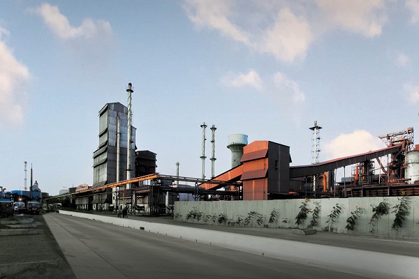
Genesys International Corporation has secured project from the National Mission for Clean Ganga (NMCG), Ministry of Jal Shakti, Government of India, for the Aerial LiDAR Survey and Geotagged Videography of the Drainage System of River Ganga. The project spans four states, Uttar Pradesh, Bihar, Jharkhand, and West Bengal, and will use a combination of manned aerial platforms and unmanned aerial vehicles (UAVs)/drones to capture high-resolution geospatial datasets for the river corridor and associated drainage systems. The uniqueness of this project is the speed in which the company’s constellation of sensors work.
The assignment includes aerial LiDAR survey, photogrammetry, orthorectified imagery, and geotagged videography of natural and manmade drainage systems merging into the river. The project will generate a high-accuracy, decision-ready geospatial dataset to support river-corridor assessment, drainage identification, terrain understanding, and downstream planning, monitoring, and intervention. Key outputs include 3D LiDAR point cloud, orthorectified imagery, annotated aerial video, and geotagged drainage information, creating a robust digital foundation for technical review and river management.
The engagement also reflects the growing promise of river intelligence as a strategic geospatial vertical. By combining LiDAR, aerial imagery, and drone videography of drains and outfalls, the resulting dataset can support multiple use cases, including drain and confluence mapping, pollution hotspot identification, wastewater interception planning, floodplain and terrain analysis, river-edge infrastructure planning, environmental compliance monitoring, and digital decision-support systems for basin management.