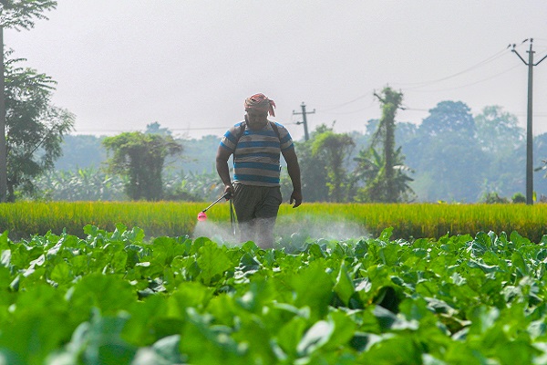

Centre launches geospatial platform Krishi-DSS for farmers

The Centre on Friday unveiled the Krishi-Decision Support System (DSS), a digital geospatial platform, to give the country’s farmers access to real-time data on weather patterns, soil conditions, crop health and water levels in reservoirs.
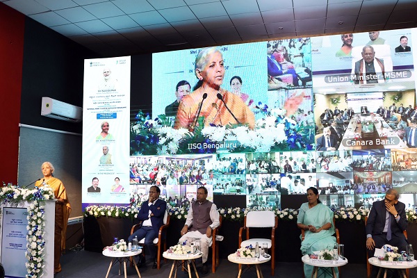
The platform was launched by Union Minister of State for Agriculture and Farmers Welfare Bhagirath Choudhary.
Krishi-DSS is a first-of-its-kind geospatial platform specifically designed for Indian agriculture. The platform provides seamless access to comprehensive data including satellite images, weather information, reservoir storage, groundwater levels and soil health information, which can be easily accessed from anywhere at any time, the minister said.
"Krishi-DSS includes several advanced modules designed to support comprehensive agricultural management. With crop mapping and monitoring, we will be able to understand cropping patterns by analysing parcel-level crop maps over the different years. This information helps in understanding crop rotation practices and promotes sustainable agriculture by encouraging the cultivation of diverse crops,” he added.
By integrating various data sources available on the Krishi-DSS, various farmer-centric solutions can be developed. These include individual advisories to farmers, early disaster warnings in cases of pest attacks, heavy rain, hail storms etc, according to an official statement.
Drought monitoring will help to stay ahead of the drought, which gives near real-time information on various indicators i.e soil moisture, water storage, crop condition, dry spells etc, while crop weather watch will keep farmers informed about how the weather is impacting the crops, crop harvest status and crop residue burning, the statement said.
Field parcel segmentation will enable the understanding of each parcel’s unique needs and cropping patterns for targeted interventions.
The one-nation-one soil information system provides comprehensive data about soil type, soil pH, soil health etc. This data will help in assessing crop suitability and land capability for implementing soil water conservation measures, it added.
The ground truth data library of Krishi-DSS will foster innovation by providing essential resources like ground truth data and spectral libraries for different crops to the researchers and industry. Krishi-DSS is expected to empower the country's farmers with real-time information to make decisions about field practices.
Officers from the Department of Agriculture &; Farmers’ Welfare, Department of Space, ISRO centres, various central Agencies (IMD, CWC, NWIC, NIC, ICAR, SLUSI, MNCFC) State Remote sensing Centres, State agriculture department, Institutes/Universities, Agri-Tech industry participated in the launch event.
The programme also included various technical sessions showcasing the current status of utilization of Space Technology in the agriculture sector and a demonstration of the various portals of ISRO for accessing satellite-based data products. The panel discussions were also organized to discuss the possible uses cases of the Space technology in the field of agriculture.